Contour Landscape Architectural Model for Terrain Design and Site Planning
Introduction
A Contour Landscape Architectural Model shows the shape of the land, changes in ground levels, and the layout of a planned landscape. It helps architects, landscape designers, builders, and developers understand how a project fits into the natural terrain. Unlike a building model, this model focuses on the land, hills, slopes, gardens, roads, pathways, and outdoor spaces.
Today, many architectural projects cover land with different elevation levels. For example, mountain resorts, hillside villas, residential townships, and landscape parks often need careful terrain planning. Architects must understand the land before they decide where to place buildings, roads, and open spaces. Therefore, a physical contour model helps them study the entire site in three dimensions.
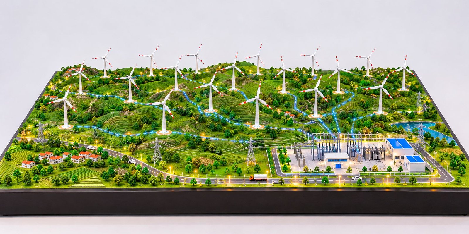
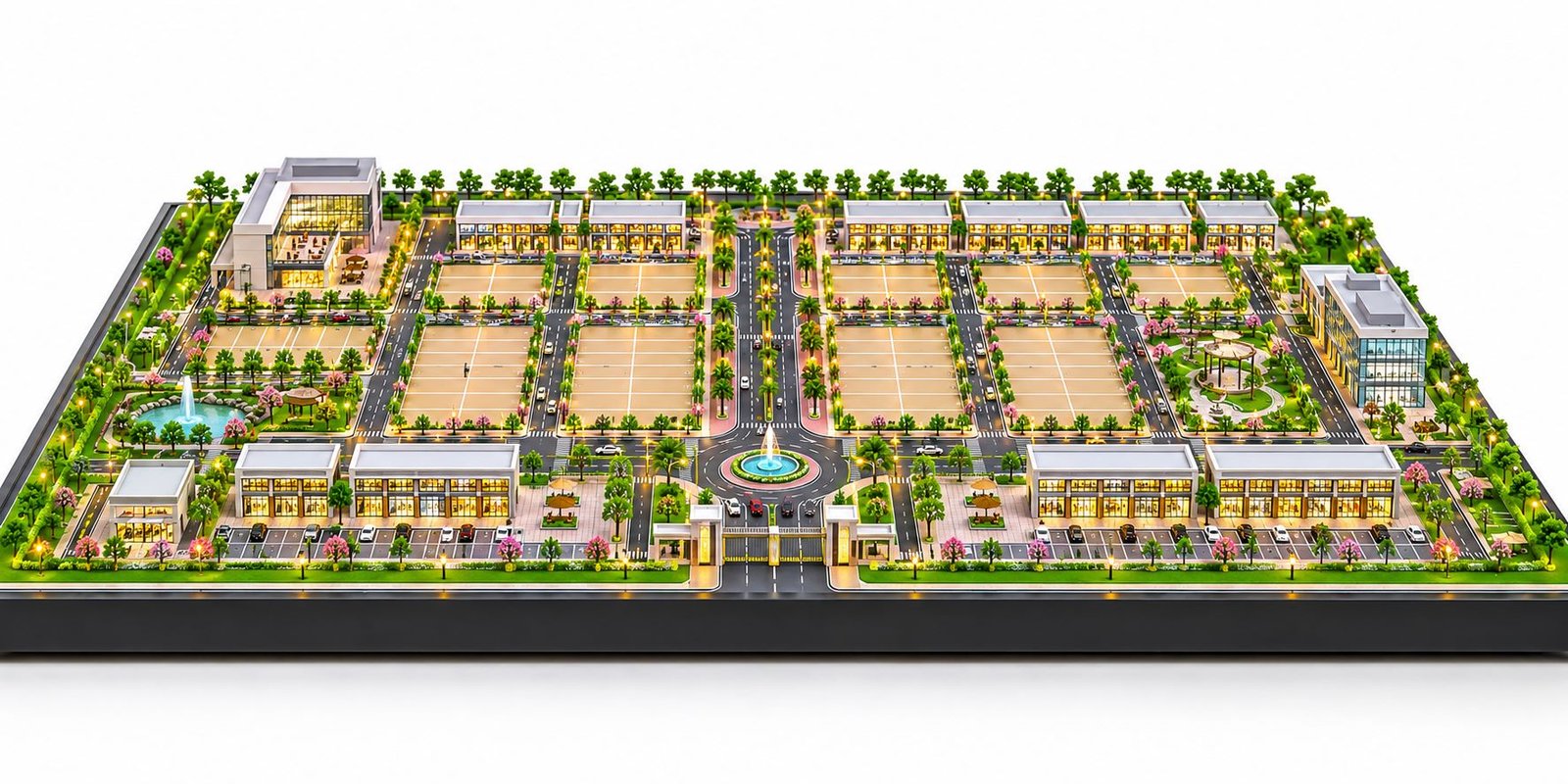
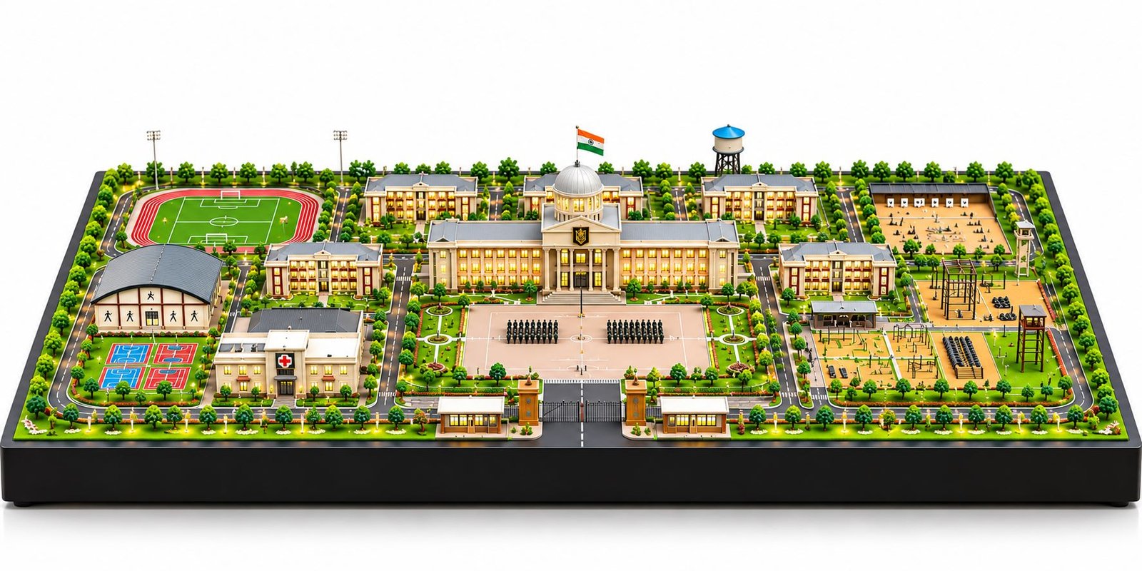
A professional contour landscape architectural model combines accurate terrain shapes with detailed landscape features. It can show layered contours, green slopes, retaining walls, trees, roads, walkways, water bodies, and architectural structures. In addition, the model can include parking areas, gardens, viewing points, and recreational spaces.
Architectural model makers use survey drawings, contour maps, design plans, and suitable materials to create these models. As a result, the finished model gives viewers a clear picture of the proposed development.
What Is a Contour Landscape Architectural Model?
A contour landscape architectural model is a physical scale model that represents the natural shape and elevation of a site. It uses contour information to show how the ground rises, falls, and changes across an area.
Contour lines connect points that share the same elevation. On a topographic map, these lines help readers understand the shape of the land. However, a two-dimensional map may not give every viewer a clear picture of the terrain. A physical model solves this problem by turning the contour information into a three-dimensional form.
For example, a site may contain a high hill, a low valley, and several sloping areas. The model shows these features through different levels and surface shapes. Architects can then examine how roads, buildings, and landscaped areas fit within the site.
Moreover, a contour landscape model can represent either the existing land or a proposed landscape design. An existing terrain model focuses on the natural ground. In contrast, a proposed landscape model shows how the design team plans to use the site.
A detailed model may include:
- Hills, mountains, ridges, and valleys.
- Layered contour lines and elevation levels.
- Terraced slopes and retaining walls.
- Internal roads and vehicle access routes.
- Pedestrian paths, stairs, and ramps.
- Trees, shrubs, lawns, and planting areas.
- Lakes, ponds, streams, and water features.
- Villas, hotels, residential buildings, and other structures.
- Gardens, parks, seating areas, and recreational spaces.
Each feature adds useful information to the model. Therefore, the design team should select details according to the project requirements.
Importance of Contour Models in Landscape Architecture
Landscape architecture involves the careful planning of outdoor spaces. Designers must consider the natural terrain, building locations, movement routes, drainage, and vegetation. A contour landscape architectural model helps them study these elements together.
Understanding Ground Levels
First, a physical contour model makes elevation changes easier to understand. Viewers can see the high and low points of the site without studying complicated drawings.
For example, a hillside project may contain several slopes and narrow valleys. The model shows how these areas connect and how the terrain changes from one section to another. As a result, architects can explain the site more clearly during project meetings.
Planning Buildings on Sloping Land
Building placement requires careful planning when the land has different levels. Architects must consider access, ground conditions, landscape features, and the relationship between nearby structures.
A contour model helps the design team examine the location of villas, hotels, and other buildings. In addition, it shows how the buildings connect with roads, pathways, terraces, and gardens.
Improving Landscape Design
A landscape project may include lawns, trees, walking routes, seating areas, and recreational spaces. However, designers must arrange these features according to the shape of the land.
A physical model shows how these elements fit together. For example, a garden may sit on a flat terrace, while a walking path follows the slope of a hill. This arrangement helps viewers understand the complete landscape design.
Supporting Project Presentations
Architects and developers often need to explain complex site plans to clients and project teams. A contour landscape model provides a clear visual reference.
Moreover, viewers can examine the model from different angles. They can compare the terrain with the proposed buildings and landscape features. Therefore, the model can make technical discussions easier.
Main Features of a Contour Landscape Architectural Model
A high-quality model combines terrain accuracy, clear layout planning, and detailed finishing. Each feature should match the project drawings and support the overall design.
Layered Contour Terrain
Layered contours give the model its main topographic structure. Each layer represents a selected elevation level and helps show the shape of the land.
Model makers can cut contour shapes from foam sheets, mount board, MDF, or other suitable materials. They then arrange the layers according to the site data.
The finished model may retain visible contour edges for a technical appearance. Alternatively, the maker can add surface finishes to create a more natural landscape.
Hills and Mountain Slopes
Hills and slopes often form the main visual features of a terrain model. Their shape affects the placement of buildings, roads, gardens, and other elements.
For example, a mountain landscape may include high ridges, rounded hills, narrow valleys, and steep slopes. A professional model should follow the supplied topographic information instead of adding random elevations.
Furthermore, the maker should maintain a clear relationship between the terrain and the surrounding development. This approach helps viewers understand the land more easily.
Terraced Landscape Areas
Terraces create usable spaces on sloping land. Designers may use them for villas, gardens, seating areas, parking, and recreational facilities.
A contour landscape architectural model can show several terraces at different levels. It can also include retaining walls, stairs, ramps, and pathways between these areas.
As a result, viewers can see how the landscape connects from one level to another.
Roads and Internal Circulation
Roads connect different parts of a development. On hilly land, designers often need curved routes that follow the natural slope.
A detailed model can show access roads, junctions, turning areas, parking spaces, and pedestrian routes. In addition, it can show how vehicles and pedestrians reach individual buildings.
The maker should follow the approved site plan when adding these features. This keeps the model accurate and easy to understand.
Trees and Green Spaces
Trees, shrubs, lawns, and planting beds give the landscape a natural appearance. They also help viewers identify parks, gardens, residential areas, and open spaces.
For example, a forested hillside may contain dense groups of trees. A residential terrace, however, may include smaller trees, lawns, and decorative plants.
The model maker should vary the planting according to the landscape plan. This creates a more realistic and balanced presentation.
Water Bodies and Recreational Features
Some landscape projects include lakes, ponds, streams, swimming pools, and decorative water features. These elements can create focal points within the design.
Model makers may use blue acrylic, resin, or other suitable materials to represent water. They can also add bridges, walking paths, seating areas, and landscaped edges.
Moreover, the surrounding terrain should connect naturally with the water feature. This helps the complete model look more consistent.
Architectural Structures
A contour landscape model may include villas, hotels, cottages, residential blocks, restaurants, and visitor facilities.
The model maker should match the size of each structure to the selected scale. The buildings should also follow the approved site layout.
Therefore, the terrain and architecture work together to communicate the proposed development.
Types of Contour Landscape Models
Mountain Contour Scale Model
A mountain contour scale model focuses on hills, ridges, valleys, and elevation changes. Architects and planners can use it to present mountain developments, tourism projects, and infrastructure proposals.
The model may show natural terrain alone or include proposed roads, buildings, and landscape features.
Hillside Residential Landscape Model
A hillside residential model shows homes and shared spaces across sloping land. It may include villas, residential blocks, roads, parking areas, gardens, and pedestrian paths.
Furthermore, the model helps viewers understand how each residential area connects with the surrounding terrain.
Mountain Resort Landscape Model
A mountain resort model combines natural landforms with hospitality and recreational facilities. It may include hotels, cottages, villas, gardens, swimming pools, viewing platforms, and internal roads.
The design should show the relationship between the buildings and the natural landscape. As a result, the model presents the resort as one complete development.
Contour Master Plan Model
A contour master plan model covers a larger site with different land levels and planned development zones.
It may include residential areas, commercial buildings, open spaces, roads, parks, and major landscape features. In addition, it can show the surrounding terrain to provide context.
Topographical Landscape Model
A topographical landscape model focuses on the existing shape of the land. It can show hills, valleys, ridges, watercourses, and other natural features.
Design teams can use this model to understand the site before they develop a detailed architectural proposal.
Contour-Based Township Model
A contour-based township model shows a planned community across uneven terrain. It may include housing clusters, internal roads, parks, community facilities, and recreational spaces.
The model helps planners examine how the township layout responds to the natural ground levels.
Materials Used for Contour Landscape Model Making
The right materials help the model maker achieve the required accuracy, appearance, and strength.
MDF and Plywood
MDF and plywood can provide a strong base for physical models. They can also support selected terrain layers and structural elements.
The maker should choose suitable thicknesses according to the model size and total weight.
Foam Sheets
Foam sheets help create terrain shapes and elevation changes. They are lightweight and easy to cut, making them useful for many contour models.
The maker can shape and finish the surfaces to match the terrain design.
Mount Board and Cardboard
Mount board and cardboard work well for layered contour studies and lightweight models. The maker can cut each layer to match the contour drawing.
These materials are especially useful when the project requires clearly visible contour edges.
Acrylic Sheets
Acrylic can represent water features, transparent elements, protective covers, and selected architectural details.
For example, a model maker may use blue acrylic for a lake or clear acrylic for a protective enclosure.
Three-Dimensional Printing
Three-dimensional printing can produce complex terrain components, miniature structures, and custom landscape elements.
It is useful when the design includes shapes that require detailed geometry. Moreover, printed parts can work alongside laser-cut layers and hand-finished materials.
How to Make a Contour Landscape Architectural Model
A successful model starts with accurate information and careful planning. The following process explains the main stages.
Review Site Drawings
First, the model maker reviews the contour map, survey drawings, site boundary, elevation data, and landscape plan.
These documents explain the shape of the land and the location of proposed features. If any information is unclear, the team should confirm it before fabrication begins.
Select the Scale and Base Size
Next, the team chooses a suitable scale. The scale depends on the site area, required detail, and available display space.
A smaller scale can show a large development within a compact base. However, a larger scale provides more room for small landscape details.
The base should accommodate the complete site and any important surrounding context.
Prepare the Digital Terrain
The model maker can use CAD or 3D modelling software to prepare the terrain geometry.
The digital model translates contour information into a three-dimensional shape. It also helps the team check slopes, elevation changes, and the position of important site features.
Therefore, digital preparation can reduce errors during physical fabrication.
Cut and Assemble the Contours
The maker transfers the prepared contour shapes to the selected materials. Depending on the project, the team may use laser cutting, CNC cutting, or manual methods.
Next, the maker aligns the layers and assembles them in the correct order. Careful alignment helps maintain the intended terrain shape.
Finish the Terrain and Add Landscaping
After assembling the contours, the maker finishes the terrain surfaces. The model may show exposed layers or use a smoother finish.
The team then adds grass, trees, rocks, water bodies, and planting areas according to the design. In addition, it can add paths and paved spaces to improve the level of detail.
Install Buildings and Roads
The maker positions buildings, roads, bridges, retaining walls, and other features according to the approved drawings.
Each element should fit the terrain and connect logically with nearby spaces. This step brings the complete landscape design together.
Check the Finished Model
Finally, the team checks the terrain, dimensions, alignment, surface finish, and placement of all components.
The maker should also inspect the base and any protective cover. If the client needs to transport the model, the team should consider suitable packing and handling arrangements.
Why Accurate Contour Lines Matter
Contour accuracy affects the entire model. Incorrect elevation levels can change the apparent shape of the terrain and create a misleading presentation.
Therefore, the model maker should follow the supplied survey data and maintain consistent contour intervals. The team should also check the relationship between the drawing scale and the physical model.
In some presentation models, designers may choose vertical exaggeration to make small elevation changes easier to see. However, the team should use this technique carefully because it changes the apparent slope of the land.
The model should also provide enough space for roads, buildings, vegetation, and landscape details. As a result, viewers can understand both the terrain and the proposed development.
Applications of Contour Landscape Architectural Models
Contour landscape models support several types of architectural and engineering projects.
Residential and Township Projects
Residential developments often include roads, homes, gardens, and shared spaces across different ground levels.
A physical model shows how these elements fit together. Moreover, it helps developers present the overall layout during project discussions.
Resorts and Hospitality Developments
Mountain resorts and hillside hotels combine buildings with natural terrain. A model can show accommodation zones, gardens, swimming pools, viewing areas, and internal roads.
This helps clients understand the complete development rather than viewing each building separately.
Landscape Architecture
Landscape designers can use contour models to present planting plans, terraces, walkways, parks, and outdoor spaces.
The model also helps explain how these features connect with the existing terrain.
Roads and Infrastructure
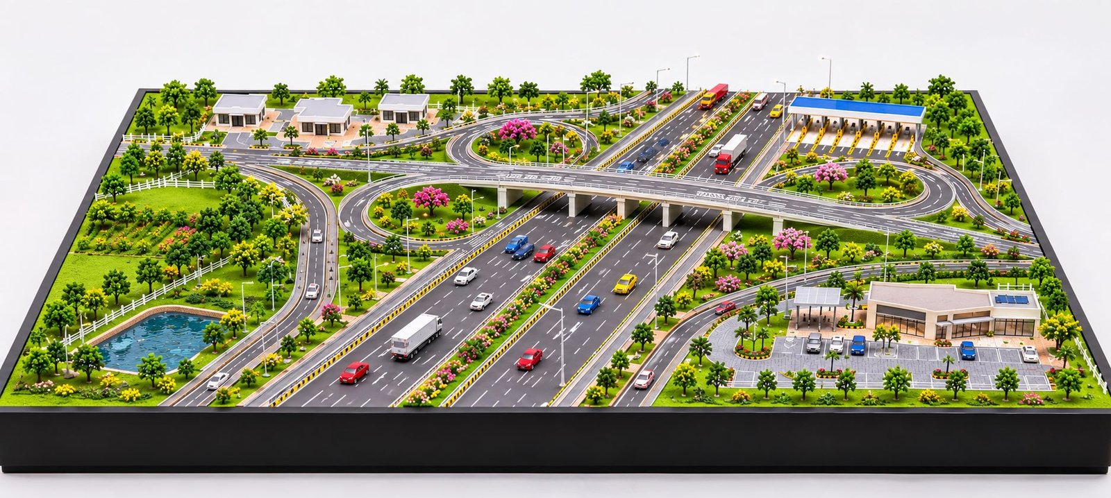
Roads, bridges, tunnels, and access routes may cross areas with changing elevations.
A topographic model can show the proposed route in relation to the surrounding landscape. However, engineers should use detailed technical drawings and suitable analysis tools for final engineering decisions.
Educational Projects
Architecture and planning students can use contour models to study landforms, slopes, elevation levels, and site planning.
Similarly, training institutions can use physical models to explain how contour maps represent three-dimensional terrain.
Benefits of a Professional Contour Landscape Model
A professionally prepared model offers several practical benefits.
Clear terrain visualization: Viewers can understand hills, valleys, slopes, and elevation changes more easily.
Better design communication: Architects and developers can explain the proposed layout through one physical representation.
Detailed landscape presentation: The model can combine trees, gardens, roads, buildings, and water features.
Improved project understanding: Clients can examine how different parts of the site connect with each other.
Professional display: A well-finished model can support presentations, exhibitions, meetings, and project displays.
Useful design reference: The model can help the project team discuss the layout and identify areas that need further review.
These benefits depend on accurate drawings, suitable materials, and the right level of detail.
Choosing the Right Scale for a Contour Landscape Model
The model scale should match the size of the site and the purpose of the presentation.
A smaller scale works well for large master plans because it allows the team to show the entire development on one base. However, this approach may limit the amount of small detail.
A larger scale provides more space for paths, retaining walls, planting areas, and architectural features. In contrast, it may require a much larger base to represent the complete site.
The team should also consider the terrain height and overall proportions. For a wide landscape development, a long, low-profile model may present the site more clearly.
Therefore, the model maker should review the site dimensions, contour intervals, and required details before selecting the final scale.
How to Choose a Contour Landscape Model Making Company
Choosing a suitable architectural model maker helps ensure that the finished model meets the project’s requirements.
First, review the company’s experience with topographic models, landscape models, and architectural site models. Previous projects can show how the team handles contour layers, terrain finishing, roads, vegetation, and building details.
Next, prepare the required project information. This may include site boundaries, contour drawings, elevation data, landscape plans, building layouts, preferred scale, and base dimensions.
In addition, discuss the materials, fabrication methods, finishing options, delivery schedule, and transportation needs.
A clear brief helps the model maker understand the expected result. It also helps both sides agree on the appropriate level of detail before production begins.
Conclusion
A Contour Landscape Architectural Model helps architects, landscape designers, and developers present the relationship between natural terrain and planned development. It combines contour layers, hills, slopes, roads, pathways, vegetation, water features, and architectural structures in one three-dimensional representation.
These models support mountain resorts, hillside residences, township developments, landscape projects, and infrastructure presentations. Their quality depends on accurate site information, suitable materials, careful fabrication, and consistent detailing.
At PAL Design Models, we understand the importance of presenting architectural ideas clearly. A well-planned contour landscape model can help communicate the site’s natural shape and the proposed design in a professional format. Therefore, clients can use these models to explain their project vision and support meaningful design discussions.