
Intelligent Wireless Landslide Monitoring Model Making for Geotechnical Projects
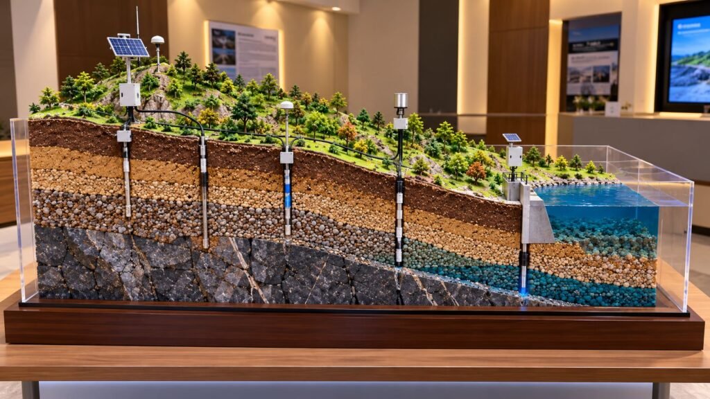
Intelligent Wireless Landslide Monitoring Model for Geotechnical Engineering Projects Landslides can cause serious damage to roads, buildings, bridges, residential areas, and other infrastructure. Therefore, engineers need effective methods to monitor unstable slopes and identify possible ground movement before it becomes dangerous. Modern geotechnical engineering uses monitoring instruments, wireless communication, and data collection systems to study […]
Detailed Contour Landscape Model Making for Architectural Projects
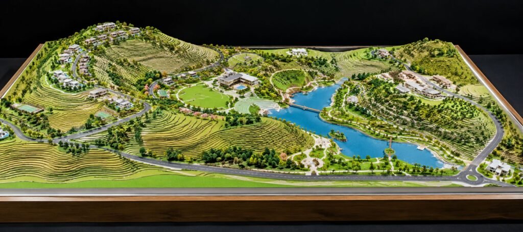
Contour Landscape Architectural Model for Terrain Design and Site Planning Introduction A Contour Landscape Architectural Model shows the shape of the land, changes in ground levels, and the layout of a planned landscape. It helps architects, landscape designers, builders, and developers understand how a project fits into the natural terrain. Unlike a building model, this […]